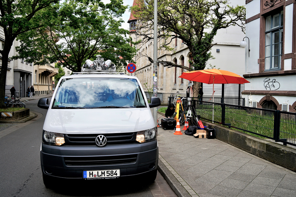
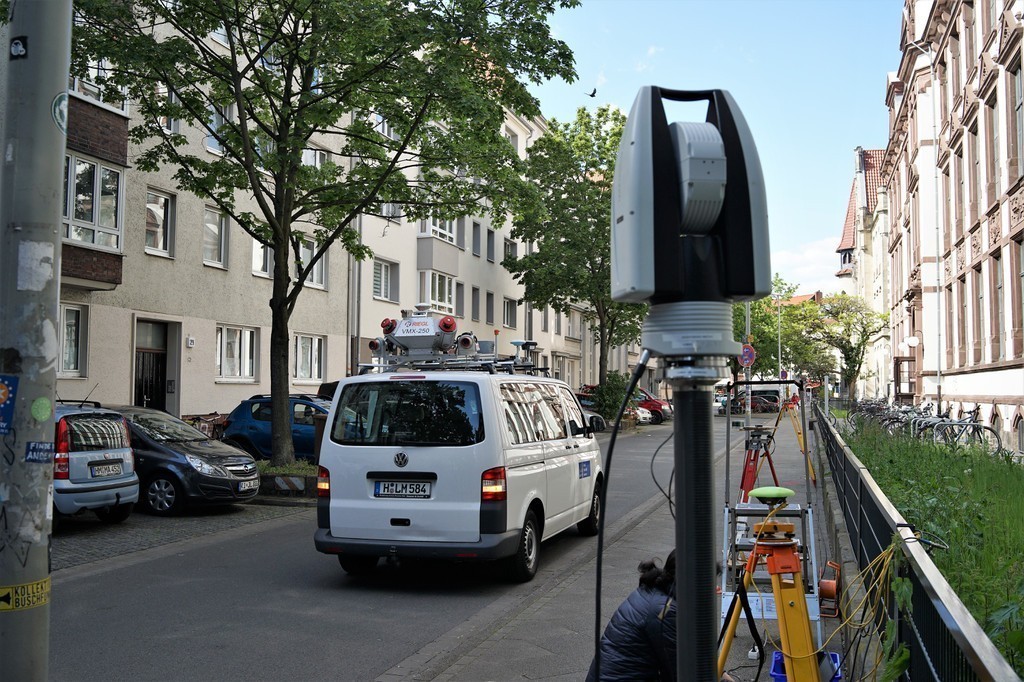
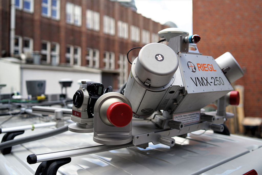
The second mapathon of the first doctoral cohort took place on May 14 – 15, 2019. The aim of the measurement campaign was to collect data in scenarios that had not yet been covered by previous experiments. Since this only concerned part of the doctoral topics, the experiments were also planned in a smaller group of doctoral students and associates of the Research Training Group. In contrast to the first mapathon, this time there was no need to use several vehicles simultaneously. Instead, the sensor platform of one of the vehicles was extended and all required sensors were mounted on it. Some sensors were also used for the first time to investigate their suitability in subsequent measurement campaigns, including a CEPTON-LiDar sensor and a low-cost Velodyne scanner.
This time the planned scenarios were carried out on two consecutive days: on the first day the PhD students concentrated on the generation of a reference trajectory by external tracking with a laser tracker and an additional laser scanner; these should provide a "ground truth" for the evaluation of the methods developed in the PhD projects. The setup and calibration of the external sensors was an additional work package. The time synchronisation between the external sensors and the vehicle sensors was again done using GPS time. On the second day, several longer scenarios with special requirements were realized: a continuous drive of more than one hour to observe effects of GNSS localization over longer periods of time, a drive in the city center with high traffic volume and a repetition of the route from the long-term experiment, this time with the extended sensor setup. At the beginning and end of both days the sensor platform was fully calibrated.
The Participating Vehicle and its Sensors
Sensors
External Tracking:
- Leica AT960 Laser Tracker
- JAVAD DELTA Receiver
- JAVAD Grant Antenna
- Velodyne HDL-64E Laser Scanner
Vehicle (ikg):
- Riegl VMX-250 Mobile Mapping System
- MicroStrain 3DM-GQ4-45 IMU
- Velodyne HDL-64E Laser Scanner
- Velodyne PUCK Laser Scanner
- CEPTON HR80W Laser Scanner
- Stereo Camera ( PointGrey)
Appelstraße 9A
30167 Hannover


