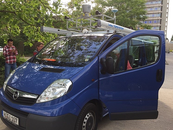
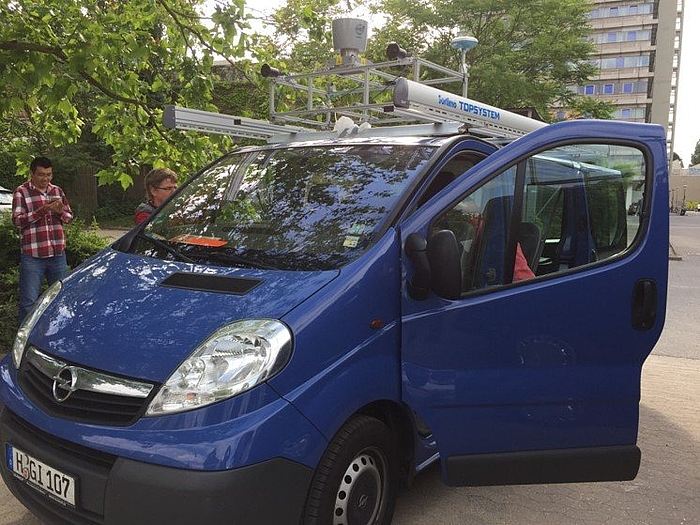
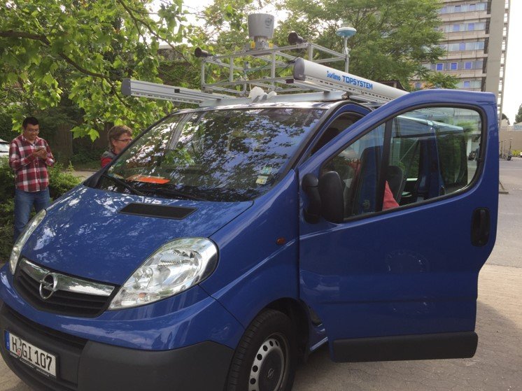
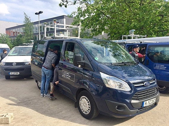
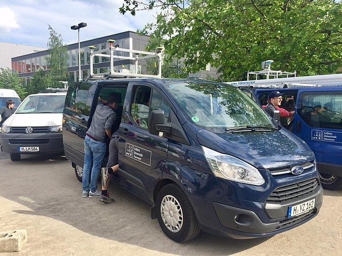
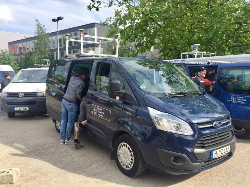
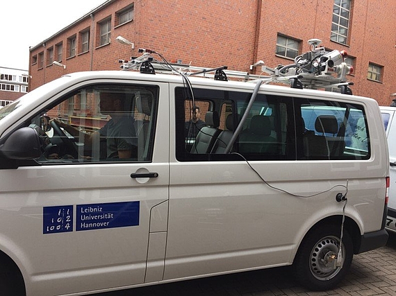
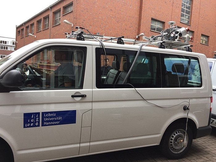
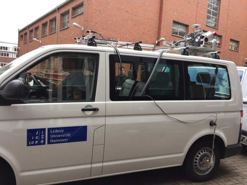
On 12.06.2017 the first mapathon of the still young Research Training Group took place. After almost two months of planning and preparation, three minibuses were equipped with differently equipped sensor platforms and used in four partial experiments to collect the first data for the nine PhD projects. Each vehicle was equipped with a frontal stereo camera system and at least two GNSS systems. Additionally, two different LiDar systems (RIEGL Mobile Mapping System VMX-250, Velodyne HDL-64E Laser Scanner) were installed on two different vehicles; the third vehicle was equipped with additional GNSS/IMU systems and several antennas.
The four scenarios met different requirements of the research projects regarding the traffic situation/interaction of the participating vehicles and route characteristics. In two scenarios extras were also used as pedestrians. The setup and calibration of the three sensor platforms took the whole morning, followed by 4 hours of experiments under good weather and changing light conditions, followed by a final calibration and dismantling of all systems. The time synchronisation between all systems was done by GPS time; the data acquisition of all sensors was bundled per vehicle in a computer on board. Within the scope of the Mapathon, net data were recorded for 1.5 hours per vehicle and during the experiments a distance of almost 20 km per vehicle was covered. This resulted in a total of 1.5TB of raw data. After the experiment, these data were systematically processed, documented and saved.
Another important by-product were the roof superstructures and sensor platforms for all vehicles, which were designed and realised especially for the experiments and can be extended/reused in all later experiments. Any problems and errors that occurred were dealt with. The resulting experiences are incorporated into the planning of the following experiments.
The Participating Vehicles and their Sensors
Sensors
Vehicle 1 (GIH):
- JAVAD Delta-G3T GNSS + LORD MicroStrain GNSS/IMU + NavExperience antenna
- Velodyne HDL-64E Laser Scanner
- Pointgrey Stereo Cameras
Vehicle 2 (IfE):
- JAVAD QUA-G3D Sigma receiver + NovAtel SPANE-SE receiver (incl. iMAR FSAS IMU) + 4 JAVAD antennas
- Grashopper 2.3 Stereo Camera System
Vehicle 3 (ikg):
- Riegl VMX-250 Mobile Mapping System
- Allied Vision AV MAKO Stereo Camera
- JAVAD TRE-G3TH delta GNSS + LORD MicroStrain GNSS/IMU + NavExperience Antenna
Appelstraße 9A
30167 Hannover
