Lucy Icking, M. Sc.
Erstbetreuer: S. Schön; Co-Betreuer: C. Brenner
In recent years, the possibility for communication from vehicle-to-participants (V2X) has enabled exchanging information between traffic participants as well as elements of the environment. In this context, collaborative positioning has become a widely noticed topic and shows great potential for improved accuracy and integrity for navigation in urban areas (Schön et al. 2018).
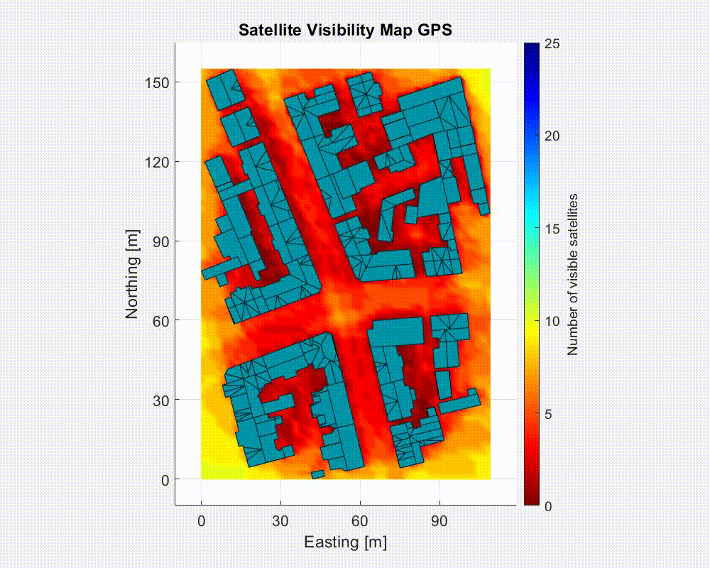
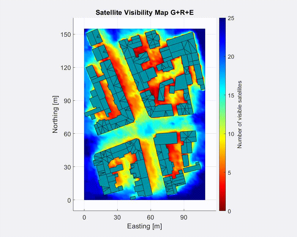
Global Navigation Satellite Systems (GNSS) is the only navigation sensor that provides absolute positioning. However, urban areas form the most challenging environment for GNSS to achieve a reliable position. Because of the reduced satellite visibility and disturbed signal propagation like diffraction and multipath, the resulting position has a reduced accuracy and availability. Multipath is the error arising by an incoming reflected signal, making it hard to determine the actual signal path length. The overall research objective of this project is to reduce these shortcomings through collaboration. Therefore, similarity of multipath at different locations within streets will be studied.
The base for this will be simulations performed with the help of 3D building models. These will already give information about directly visible satellites (LOS) or signals that are blocked by buildings (NLOS). Additionally, the simulations will include possible signal reflections on buildings which are an important part of multipath. We will then be able to divide signals into discrete categories to improve positioning algorithms.
In the evaluation part, real multi-GNSS data from the urban Mapathon experiment will be studied to answer the question whether a kinematic agent in the city gets an improvement on its position by receiving collaborative information from agents nearby.
Schneiderberg 50
30167 Hannover
Schneiderberg 50
30167 Hannover


